Timeline
-
Due Diligence
-
Pre-commencement
-
Third Party Funding
-
Commencement of Preparation of Technical Reports
-
Pitching
-
Vision, Purpose and Place
-
Agency Endorsement
-
Community Engagement & Exhibition
-
Review of Submissions
-
Standing Advisory Committee (if required)
-
Structure Plan Finalisation
-
Ministerial Consideration
-
Complete
Contact
Alexandrea Malishev
Strategic Planning Manager
(03) 9651 9639
Alexandrea.Malishev@transport.vic.gov.au
Richard Overall
Senior Strategic Planner
03 9651 9624
Richard.Overall@transport.vic.gov.au
Mat Garner
Director, Metropolitan Melbourne
(03) 9651 9619
Mat.Garner@transport.vic.gov.au
Subscribe now
Sign up to receive updates on this project
Clyde South
The Victorian Planning Authority (VPA) is leading the preparation of a precinct structure plan (PSP) and infrastructure contributions plan (ICP) for the Clyde South precinct, working in partnership with Casey City Council, state government agencies and service authorities.
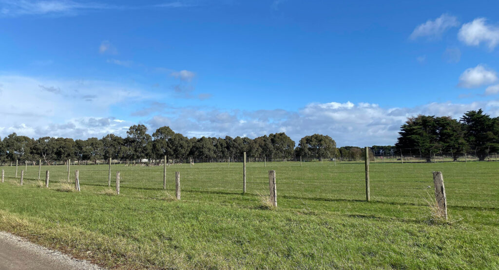
Clyde South includes land currently used in a rural capacity
The Clyde South precinct is located 46km southeast of central Melbourne and 4.4km southeast of the Cranbourne Town Centre. The precinct encompasses an area of 1057ha, bounded by Ballarto Road to the north, farming properties to the east, Manks Road to the south, the South Gippsland Highway to the south-west and Clyde-Fiveways Road to the west. The precinct will complement existing surrounding development through the provision of residential and commercial opportunities. The precinct is included in the Melbourne Strategic Assessment area and includes a Biodiversity Conservation Strategy Conservation Area within the former Gippsland railway corridor.