Clyde South
The Victorian Planning Authority (VPA) is leading the preparation of a precinct structure plan (PSP) and infrastructure contributions plan (ICP) for the Clyde South precinct, working in partnership with Casey City Council, state government agencies and service authorities.
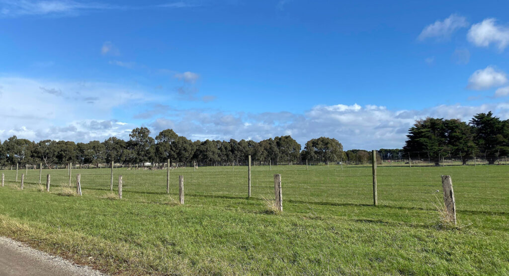
Clyde South includes land currently used in a rural capacity
The Clyde South precinct is located 46km southeast of central Melbourne and 4.4km southeast of the Cranbourne Town Centre. The precinct encompasses an area of 1057ha, bounded by Ballarto Road to the north, farming properties to the east, Manks Road to the south, the South Gippsland Highway to the south-west and Clyde-Fiveways Road to the west. The precinct will complement existing surrounding development through the provision of residential and commercial opportunities. The precinct is included in the Melbourne Strategic Assessment area and includes a Biodiversity Conservation Strategy Conservation Area within the former Gippsland railway corridor.
Interactive map of Clyde South
Project Status Update – February 2026
As part of the next stage of the project, we are finalising Third Party funding agreements with landowners.
Since our last update in November, we have:
- Prepared the Clyde South Due Diligence report for public release.
- Continued discussions with landowners about funding arrangements in preparation for formal precinct planning.
- Started preparing request for quotation documents for key background studies needed for the next stage of the project, subject to confirmation of funding.
In the coming months, once Third Party funding agreements are in place and the project formally commences, we will begin appointing consultants to prepare key background studies. These are expected to include the Culture Values Assessment, the Aboriginal Cultural Heritage Impact Assessment and the Arborist Assessment reports.
Previous Project Status Updates
- Project Status Update – November 2025
- Project Status Update – September 2025
- Project Status Update – July 2025
- Project Status Update – April 2025
- Project Status Update – January 2025
- Project Status Update – November 2024
- Project Status Update – February 2024
- Project Status Update – November 2023
- Project Status Update – July 2023
- Project Status Update – April 2023
- Project Status Update – March 2023
- Project Status Update – November 2022